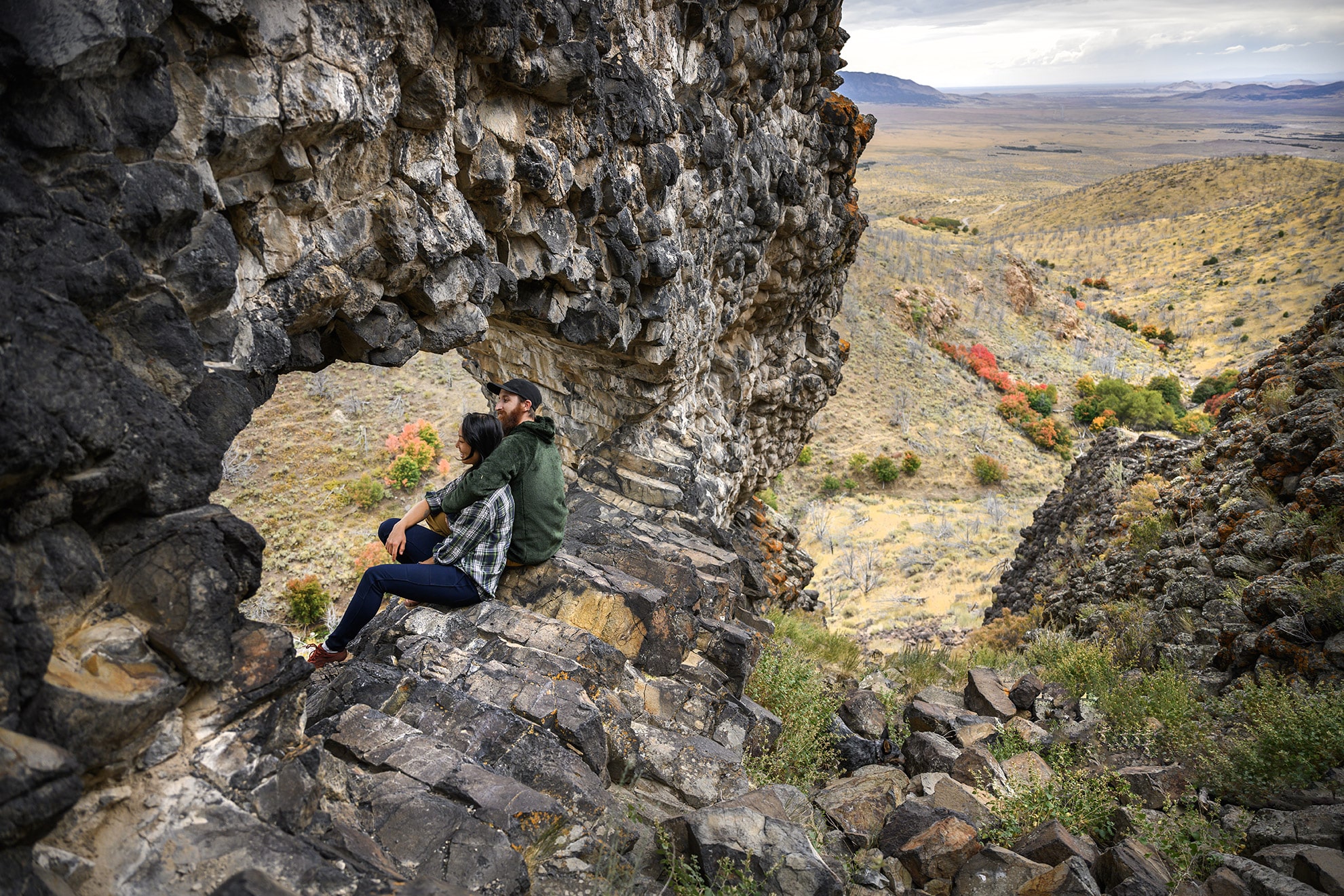
A geologic curiosity rare in Utah, the “Woodpile” is a cluster of lava logs formed about 30 million years ago during the Eocene Period. The “logs” were formed when a lava flow cooled into orderly columnar joints having three to six sides. The columns measure about a foot in diameter and up to 15 feet in length.
This formation was on the rim of the caldera that collapsed due to a void left when lava flowed out from under the caldera. Basin and range faulting caused the formation to tilt onto its side. Erosion has exposed the formation we now see.
Directions:
Paul Bunyan’s Woodpile is located just east of Highway 6, near Jericho Junction (the access road to Little Sahara Recreation Area).
From Eureka, drive south on Highway 6 for about 15 miles until you come to a good dirt road heading east into the foothills. From Jericho Junction, drive north for about 3 miles to find the dirt road.
Follow the dirt road east for about 3.5 miles to the trailhead. There are signs along the dirt road showing the way and marking the trailhead.
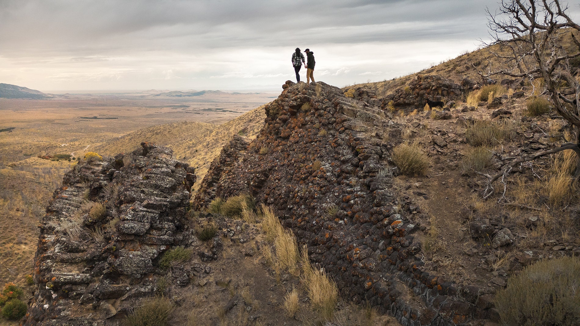
From the trailhead, follow the trail up the draw for about 1 mile, until you recognize the distinctive fins. The fins are located on top of the ridge to the left as you hike up the canyon. The fins are composed of lava “logs” that look as if they were neatly stacked. Other logs are strewn haphazardly around the ridge top.
When you can see the fins clearly look for a trail that leaves the draw and switchbacks up the side of the ridge to the woodpile.
If you continue up the draw, you will swing around behind the woodpile and gain a view of the arch. You can climb up to the woodpile from the backside, but that route is longer and much steeper.
There are many dirt roads and trails in this country, and it can be difficult to know if you are on the right one. A good topographic map really helps.